LandPKS Learning
Knowledge Hub
Training Videos: LandInfo
A 5-part video training about how to use the LandPKS LandInfo module to identify your soil.
What is the LandInfo Module for?
The LandPKS LandInfo module is designed for rapid soil characterization and identification. In LandInfo, users can access soil and ecological site information based on both location and user inputs. The LandInfo Module is useful to anyone who is interested in characterizing and identifying their soils. The module can be used for land management as well as in educational contexts.
Using the LandInfo module, users can identify their site’s soil type (SoilID) and determine its Land Capability Class (LCC), essential information for sustainable land-use planning and management. To learn more about Soil Identification and Land Capability Classification, take a look at the SoilID and LCC articles.
Features of the LandInfo Module
In the app’s Data Input tab, the LandInfo module considers five defining aspects of soil: Land Use, Land Slope, Soil Texture, Soil Limitations, and Soil Color.
- Land Use asks the user two questions: 1) What is the Land Cover on the site?, and 2) Is the site grazed? Under Land Cover, the user can select from 9 simple illustrations of possible land covers, from forest to village to water. Under Grazing, the user can select from 8 illustrations, ranging from not grazed, grazed by livestock, and grazed by wildlife.
- Land Slope is about the angle of the land and the way it directs water. Under Slope, the user can select from 7 illustrated slopes or use the slope meter. Under Slope Shape, a series of 6 illustrations depict the shape of the slope both in the down-slope direction (left column of illustrations) and the across-slope direction (right column of illustrations). The user can select one illustration from each column. For example, the slope might be linear in the down-slope direction but concave in the accross slope direction, resulting in a linear/concave slope shape.
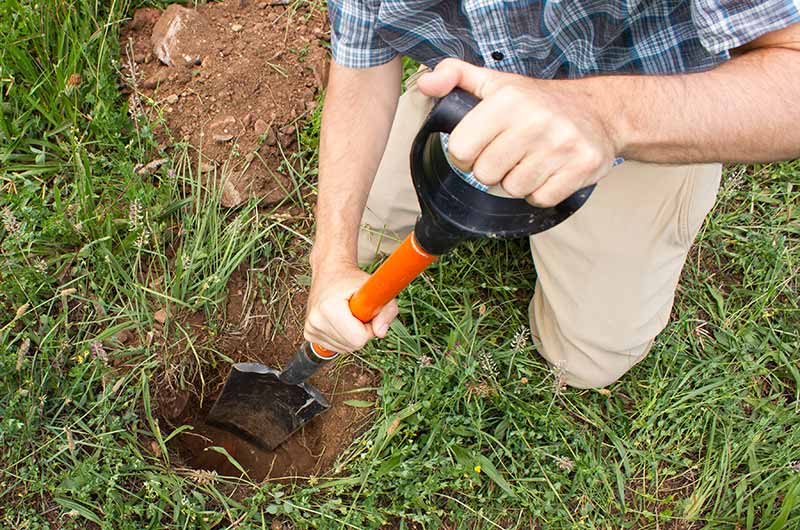
- Under Soil Texture, users can begin to define what kind of soil they have at their sites, layer by layer. Is the surface texture a sand, silt, loam, or clay? Does it have rock fragments? By analyzing soil properties by depth, the LandInfo module predicts soil infiltration and plant available water-holding capacity (AWC). AWC estimates can be adjusted to account for variable levels of soil organic matter (SOM). The LandPKS Texture Guide provides easy, step-by-step instructions for soil texture identification. Users may also enter Rock Fragment Volume data and the Bedrock Depth in this tab.
- Soil Limitations such as deep, vertical cracks in dry soil, salt found on the surface, high flooding risk, low PH, surface stoniness, water table depth and soil depth have major implications for land use. In most instances, these limitations can limit root growth and crop production; when not taken into account, they can lead to long-term degradation of the land.
- Finally, the LandInfo module in the LandPKS mobile app contains the Soil Color tool. With this tool, users can define soil color using a phone’s camera and a standardized reference card. For more information about soil color and using the LandPKS soil color tool, refer to our soil color article.
The LandInfo Module has been designed to accommodate users with different levels of experience, from the backyard gardener to the natural resource professional. By utilizing the video and text tutorials, the texture guide, and the ‘help’ text accessible by clicking on the question mark icons, users of all skill levels will be able to characterize their soil and gain a better understanding of its potential.
The following training videos will show you how to use the LandPKS LandInfo Module to learn about your soil.
Note: these training videos are based on version 3.5.0 of the LandPKS mobile app.
Other Training Videos
Vegetation & LandCover training videos
Download
Download a PDF of Intro to the LandPKS LandInfo Module
Further reading:
“Taking the Guesswork out of Soil Identification”
Soil Taxonomy: A Basic System of Soil Classification for Making and Interpreting Soil Surveys by the Soil Survey Staff at USDA-NRCS (PDF download): Soil Taxonomy | NRCS Soils
Educational (K-12) resources about soils from the USDA-NRCS: Soil Education | NRCS Soils
More information about soil limitations from the USDA-NRCS (PDF download): Understanding Soil Risks and Hazards | NRCS Soils


Jornada Experimental Range
Range Management Research Unit
2995 Knox St.
Las Cruces, NM 88003-0003, USA
Mobile App | Data Portal | Knowledge Hub | Habitat Hub | Learning Collections | Blog | About | Contact | Support