LandPKS Learning
Knowledge Hub
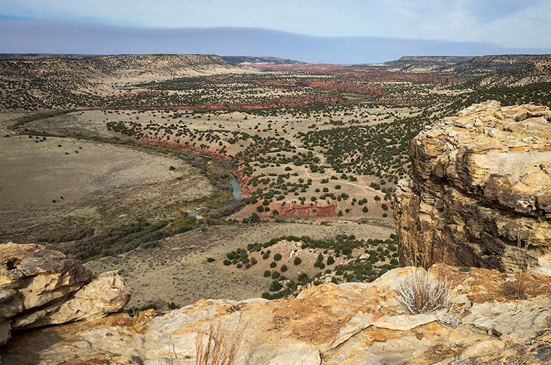
What is Land Capability Classification?
The Land Capability Classification (LCC) System is a global land evaluation ranking that groups soils based on their potential for agricultural and other uses. LCC can help determine if land is suitable for certain uses and whether there are risks for degradation.
The Land Capability Classification (LCC) System is a global land evaluation ranking that groups soils based on their potential for agricultural and other uses. LCC can help determine if land is suitable for certain uses and whether there are risks for degradation.
LCC was originally developed by the U.S. Soil Conservation Service, but it has now been adapted globally in many different countries. The LandPKS LCC is modeled after the National Soil Survey Handbook as well as several LCC systems from around the world.
In the LandPKS platform, LCC is based on your soil texture, slope, and soil limitations. Unlike some other LCC systems, we do not consider climate in our LCC classes due to the variability in climate requirements between different crops and cultivars. LandPKS users are located all around the world with a variety of land management objectives, and we strive to make sure our platform is applicable to as many management systems as possible.
If you are a US user, the USDA LCC may differ from our global classification. The US LCC is available from Web Soil Survey or the Soil Data Access services.
How do I view and interpret my LCC?
After you enter soil texture, slope, and soil limitations sections, you can locate your LCC on the report screen. Entering more data will improve the accuracy of your classification.
LCC is composed of two parts: the class and the subclass. The class determines the land’s current best use. The subclasses indicate which soil indicators are limiting factors.

For example, a soil with a 2-e (erosion) LCC can be used for agriculture but may be at risk for erosion. It may be a good idea to consider adopting conservation practices to limit soil erosion. Soils may also be limited by more than one factor. A 6-sd (soil depth), w-f (flooding) soil is both not very deep and has frequent flooding that is not ideal for agricultural use. See the tables below for a complete list of all classes and subclasses.
LandPKS also allows users to adjust their LCC based on criteria that are or are not important for their use. For example, if your soil is limited by flooding during the growing season, but you are planning on growing rice, you can elect to turn off the flooding (w-f) indicator, and your classification will be recalibrated without this subclass. You can also use this function to run scenarios about the potential of your soil if you were to mitigate against particular soil risk factors.
For example, if erosion is a risk factor for soil based on the slope, you may consider terraces or other structures to reduce this risk. Turn off the erosion indicator (e) to view a recalibrated LCC if you are controlling for erosion risks. If you have a high water table but you installed tile drainage, you could turn off the high water table indicator (w-d) to recalibrate your LCC.
Note for US LandPKS users: In the US, the USDA determines and reviews LCC for each soil. If you are a US user, the USDA LCC may differ from our global classification. The US LCC is available in LandPKS SoilID for each soil component. Click on the name of the soil component to view. You can also view LCC for your soil from Web Soil Survey or the Soil Data Access services.
LandPKS LCC Class Definition
LandPKS uses the following definition for determining LCC:


Download
Download this LCC article as a PDF.
Further Reading
- USDA Land Capability Classifications (PDF)
- Office of Environmental Heritage Land and Soil Capability Assessment Scheme (PDF)
- LandPKS Pilot Testing with Local Level Participatory Land Use Planning in Ethiopia; The Role of LandPKS in Land Use Planning
- LandPKS: A New Mobile Tool for Sustainable Land-Use Planning and Management (PDF)


Jornada Experimental Range
Range Management Research Unit
2995 Knox St.
Las Cruces, NM 88003-0003, USA
Mobile App | Data Portal | Knowledge Hub | Habitat Hub | Learning Collections | Blog | About | Contact | Support