LandPKS in the Field
Mobile App
Discover the value and potential of your land. Use this information to plan and track management actions. Monitor soil health and vegetation indicators over time.
New LandPKS apps are coming in 2024!
Subscribe for updates.
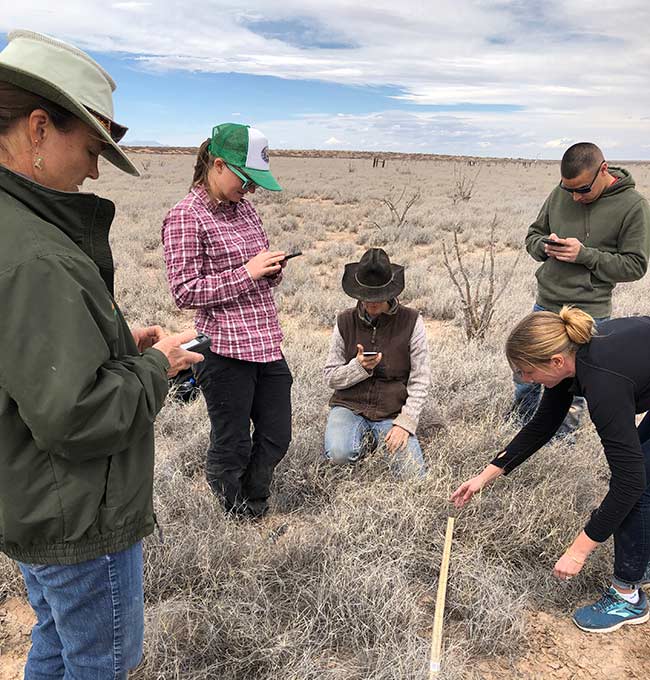
Land Information at your Fingertips
The LandPKS mobile app is a complete toolkit for sustainable land management. Use features from a selection of modules based on your land management needs. Many mobile app features are available offline.
Read the Getting Started Guide
Already Use LandPKS?
Find user guides, module details, and more in the Knowledge Hub.
Need help with the app? Visit the Support page.
Features
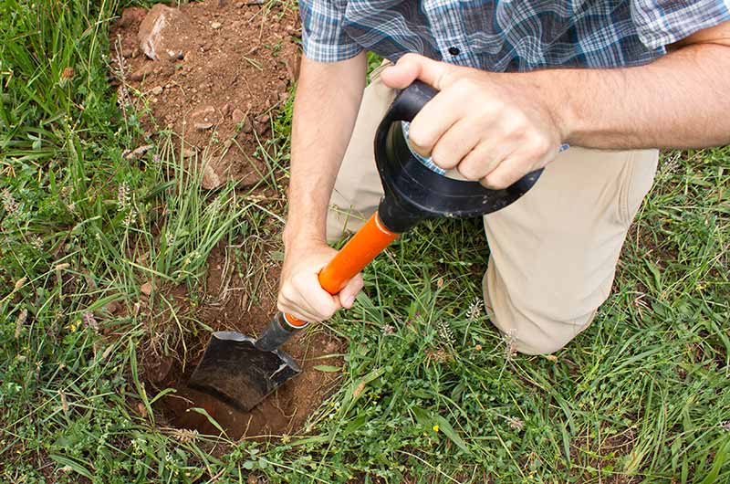
LandInfo Module
- Soil characterization and identification with links to NRCS and FAO soil information
- Soil infiltration and plant available water-holding capacity prediction
- Ecological Site identification (US)
- Land Capability Classification
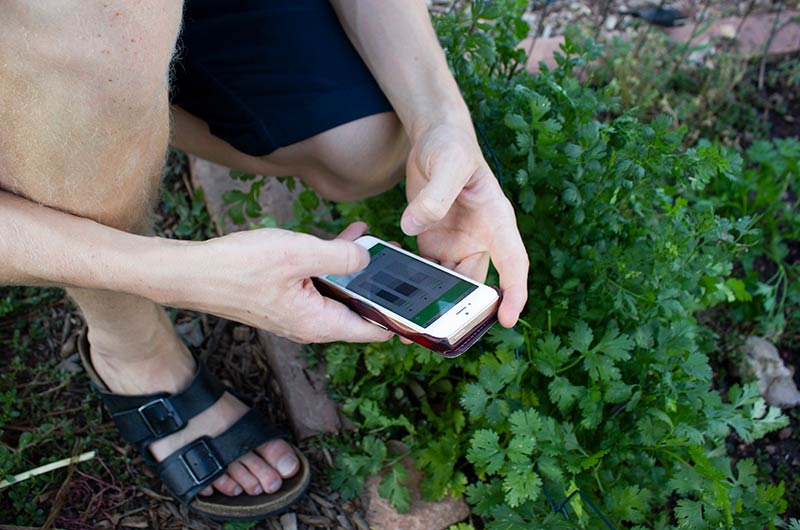
LandManagement Module
- Calendar-based farm record keeping
- Record yield, rainfall, planting dates, and more
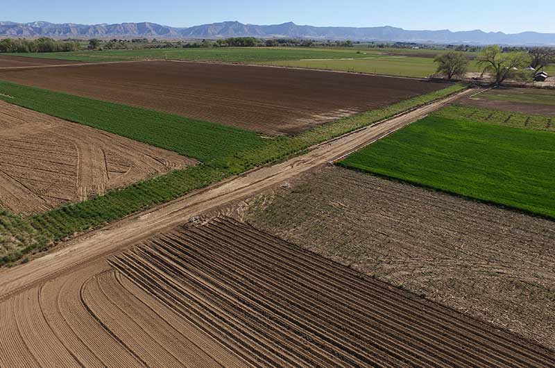
SoilHealth Module
- Monitor soil health with simple field observations – no lab required
- Record NRCS-aligned soil health indicators
- Store lab results for pH, soil organic carbon/matter, and electrical conductivity
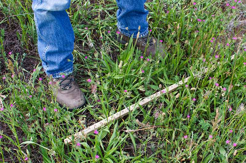
Vegetation Module
- 20-minute cover, composition, and height monitoring using a yard or meter stick
- Easy vegetation utilization measurements
- BLM-AIM/NRCS-NRI-compatible data collection
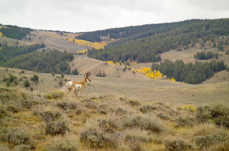
Habitat Module
- View select species that may occur in your area
- Compare species habitat characteristics to your data
Getting Started
Get started using LandPKS in 5 easy steps.
1. Download the LandPKS mobile app for Android or iOS
- Register a Gmail address to use the LandPKS app and access your data on the Data Portal.
Note: Google independently authenticates your account. LandPKS does not have access to your Gmail login.
2. Click the + to create a new site*
- Name your first site and obtain the GPS coordinates.
- In the report tab, you can already view possible soils under Soil ID and possible wildlife species on your land under Habitat.
*Or click on the Map to view possible soils without creating a site.
3. Enter data in the data input tab
- LandInfo: record slope, texture, color for Soil ID.
- LandCover: Rapid (20-minute) vegetation monitoring with a yard stick or meter stick.
- SoilHealth: record and store lab data + field observations aligned with soil health indicators.
4. Click “Synchronize Now” at the top of the data input screen when you have a data connection to:
- Backup your data to the cloud. This ensures your data will always be available to you, including after updating the app or loading it on a new phone. It also allows you to access your data on the Data Portal.
- Get new soil predictions after you enter LandInfo data (Under Report, in the SoilID section, view the GPS+Data and Data tabs).
5. View data and results in the report tab
- Soil ID: view your updated site-specific soil ranking, access information about potential vegetation and restoration options through EDIT.
- LandManagement & SoilHealth: generate PDF reports.
- Habitat: view species that may occur near your location and compare habitat characteristics with your data.
- Visit the Data Portal at LandPotential.org to download a .csv file of your data to share with others.
LandPKS Learning
Learning Center
Find tutorials, videos, and helpful guides for using LandPKS. Learn more about the methods used in the app. Access student and teacher resources. Access helpful resources for managing your land.
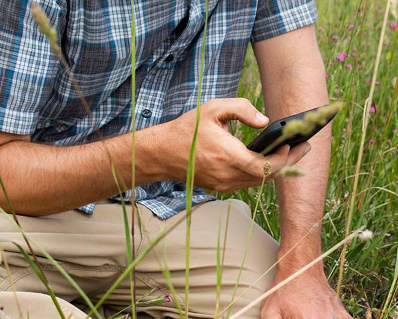
Training & User Guides
Videos and downloadable guides to quickly learn how to use LandPKS, as well as tech support.

LandPKS Modules & Functions
Descriptions and background information for each of the LandPKS modules.
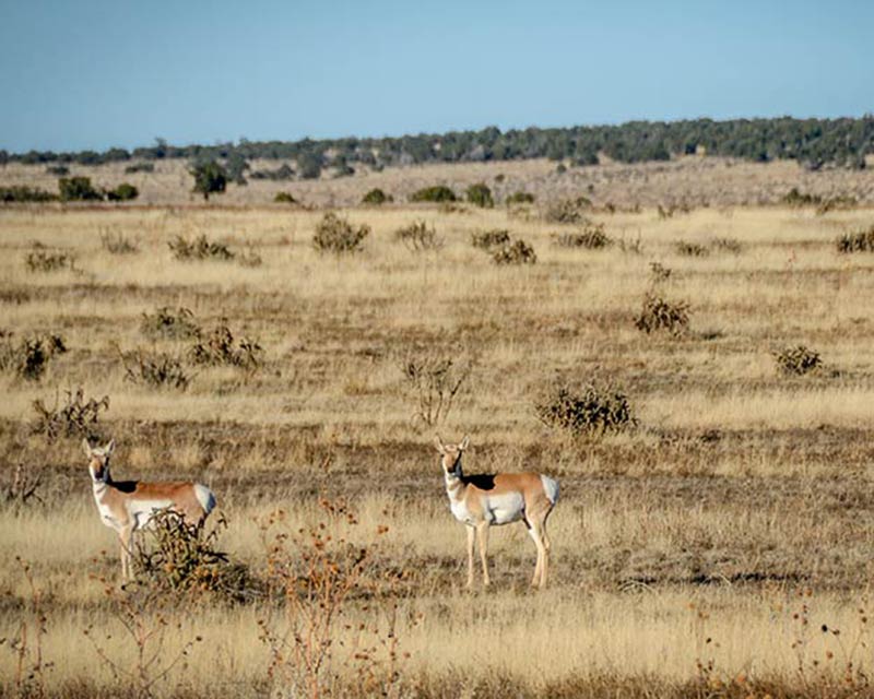
Habitat Information
Factsheets and other helpful resources about the wildlife species living on your land. (US only)
LandPKS at Your Desk
Data Portal
Start with the LandPKS app on your mobile device. Access, edit, and download your data at your desk.
© LandPKS
Mobile App | Data Portal | Knowledge Hub | Habitat Hub | Learning Collections | Blog | About | Contact | Support


