The Vegetation Module provides tools to collect quantitative vegetation data that can be compared from year to year, assisting land managers in making sound management decisions.
The vegetation cover and composition data collected in the LandPKS app is compatible with the Bureau of Land Management’s Assessment, Inventory and Monitoring Strategy (BLM-AIM) and the Natural Resources Conservation Service’s National Resources Inventory (NRCS-NRI). As always with LandPKS, you can choose to keep your data private or share it with others through the LandPKS Data Portal.
Who is the Vegetation Module for?
The vegetation module is most useful to land managers, government and agency staff, Non-governmental organization (NGO) staff, researchers, and others who monitor vegetation and land cover.
What does the Vegetation Module do?
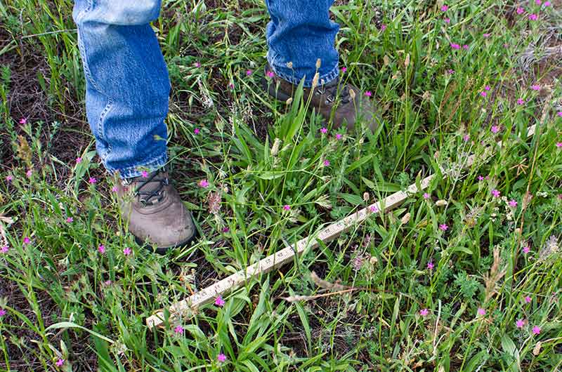
The module allows for rapid vegetation data collection and monitoring (composition, cover, height, basal/canopy gaps, and species density). Additional vegetation attributes, such as utilization and production, will be added in the future.
The user collects data about the vegetation and other cover on their land for a given date. Tracking this data over time (monitoring) allows the user to evaluate the effectiveness of their current management and adjust their management plan if it is not achieving management objectives. The data can be utilized to detect early signs of land degradation and compare areas being managed differently to evaluate their effects.
Watch the two-part video training below to learn how to use LandPKS for rapid vegetation monitoring. Note: these training videos are based on version 3.5.0 of the LandPKS mobile app.
Download
Download a PDF of the Intro to the LandPKS Vegetation Module
Further reading:
Monitoring Manual for Grassland, Shrubland and Savanna Ecosystems: Volume I
Monitoring Manual for Grassland, Shrubland and Savanna Ecosystems: Volume II
BLM Assessment, Inventory and Monitoring (AIM) Protocol
USDA-NRCS National Resources Inventory