Our mission, vision and history
About Us

© LandPKS
What is LandPKS?
LandPKS stands for Land Potential Knowledge System. Land potential is defined as the inherent, long-term potential of the land to sustainably generate ecosystem services. Land Potential at any location depends on the type of soil, topography, and climate.
We need to understand land’s potential – including how much water and carbon it can store, how much it can produce, and whether it can support a particular type of habitat – in order to make decisions about what to use it for, how to manage it, and what degraded land to prioritize for restoration.
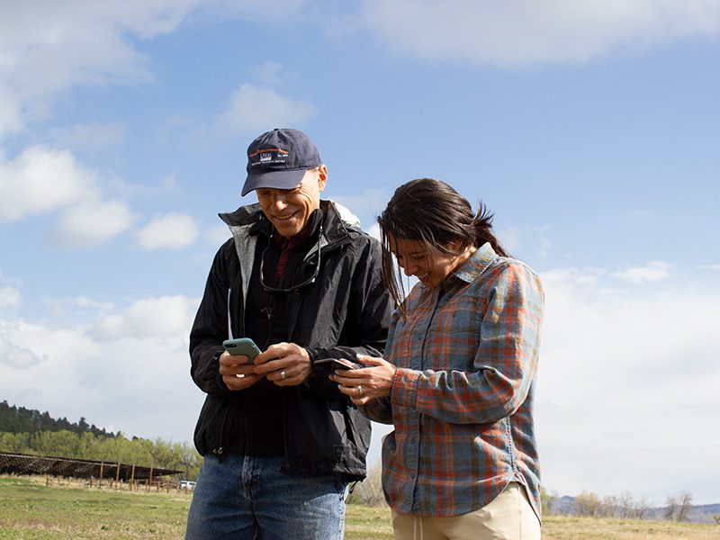
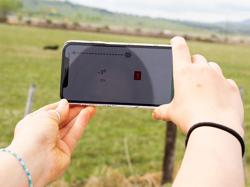
LandPKS tools allow users to learn about the land and produce site-specific data at any specific location in the world. The LandPKS mobile app is free to download for Android and iOS devices. Users can then access and download their data in the form of .csv files from the Data Portal.

© LandPKS
Our Mission
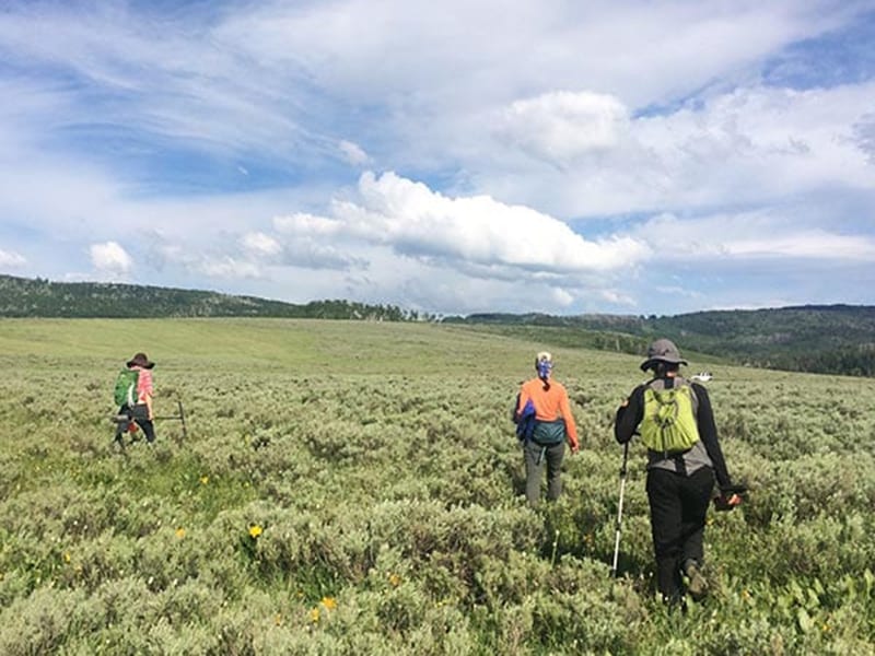
The LandPKS mission is to support farmers, ranchers, gardeners, land-use planners, and other natural resource managers with open-source tools that allow them to:
- easily access knowledge and information, and
- collect, share, and interpret their own soil, vegetation cover, and management data.
LandPKS data, information, and knowledge can be used to improve soil health and productivity. It supports all approaches to land management including traditional, regenerative, organic, and holistic.

© LandPKS
Our Vision
Simple, global access to site-specific knowledge and information for land managers.

© LandPKS
Our History
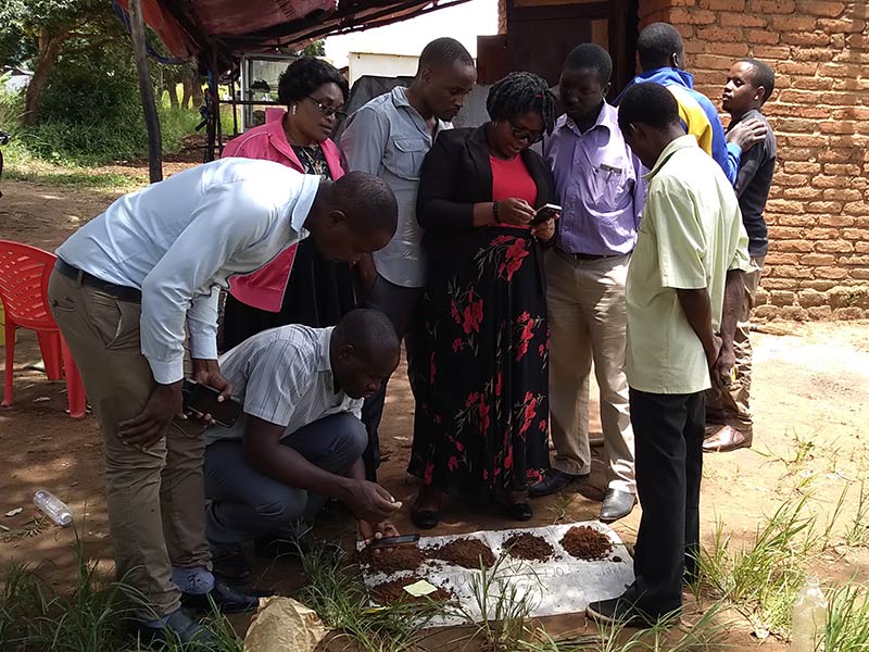
LandPKS resulted from over a decade of engagement with hundreds of individuals around the world. Development of what began as a simple idea for an “Ecological Knowledge System” in 2007 was initiated in 2013 by USDA-ARS with funding from USAID as the global “Land-Potential Knowledge System.” USAID’s initial focus on Africa led to its use as a monitoring tool for land conservancies, a resource for agricultural development, and a guide for local and regional land planning. The LandPKS team quickly realized that these same tools were needed by ranchers, farmers, community scientists, gardeners, scientists, and other land managers in the United States and around the world. Today, we continue development with the support of hundreds of global collaborators, and LandPKS is used by land managers worldwide.

© LandPKS
LandPKS Timeline
2007
Concept for an “Ecological Knowledge System” proposed based on the results of the conference, “Ecology in an Era of Globalization.”
2013
A project to develop the Land Potential Knowledge System (LandPKS) is initiated by the USDA-ARS Range Management Research Unit, Jornada Experimental Range with funding from USAID.
2013-2017
LandPKS is used as a tool for rangeland inventory and monitoring at land conservancies, a resource for agricultural development, and as a guide for local land-use planning in Africa. Adoption slowly grows in other parts of the world.
2017
Adoption of LandPKS by ranchers, farmers, community scientists, gardeners, researchers, and land managers begins to grow in the United States. USAID implements LandPKS for simple soil description and identification to improve interpretation of monitoring and evaluation of its Feed the Future investments.
2021
We continue development with the support of hundreds of global collaborators, and LandPKS is used by land managers worldwide. Learn how LandPKS is used in your region and globally in the LandPKS Knowledge Hub.
LandPKS at your Desk
 Data Portal
View, edit, and download your data from your computer. Explore public soil information and data from LandPKS users worldwide.
Mobile App | Data Portal | Knowledge Hub | Habitat Hub | Learning Collections | Blog | About | Contact | Support


