LandPKS in Use
Project and Impact Evaluators
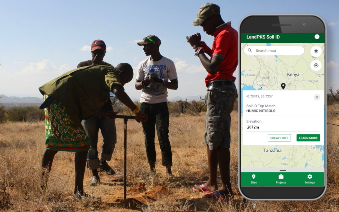
LandPKS offers a suite of tools for project and impact evaluators. Identify site-specific Soil ID for baseline assessments and ongoing monitoring, determine LCC across sites, and monitor soil health and vegetation. Collect BLM and NRCS-compatible data. Crowdsource management information.
A Simple Tool for Project and Impact Evaluation
With the LandPKS app, you can identify your soil and ecological site based on your location and your site data. Collect BLM-AIM and NRCS-NRI compatible vegetation cover and composition indicators. Monitor soil health with simple field observations. Keep data private or share with others on the Data Portal. For instructions on getting started with LandPKS for impact evaluation, download the user guide below.
Benefits

© LandPKS
Soil Identification and Site Characterization
- Identify soil at your site based on your location and NRCS (US) or FAO (International) data
- Record slope, texture, and color for more accurate soil ID
- Access estimates of the infiltration rate and water holding capacity of the soil at your site and view how these change with increased soil organic matter
- Use this information to help explain variable treatment (e.g. fertilizer and weed control) responses.

© Gustavo Lozada, courtesy of The Nature Conservancy
Determine Land Capability Class (LCC)
- For international users: Calculate LCC to determine potential uses and degradation risks based on soil identification and limitations of your site. Remove limitations for a user-defined LCC based on your management.
- For US users: Access USDA-determined LCC based on your soil identification

© Raquel Wertsbaugh, courtesy of The Nature Conservancy
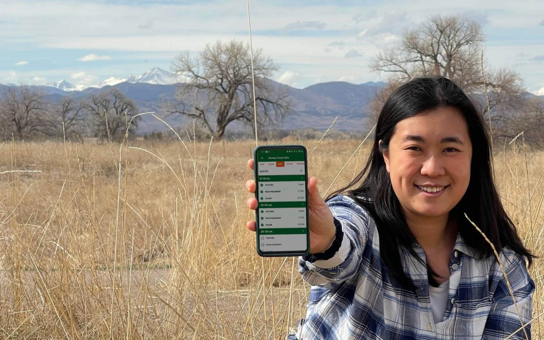
Monitor Soil Health
- Plan and track land management activities like plantings, weed and pest management, and erosion control
- Track visual observations like soil smell and biological activity
- Store lab data with your field observations for easy reference
- Document field observations aligned with the Interpreting Indicators of Rangeland Health as well as NRCS In-Field Cropland Assessment
- Store lab data with your field observations for easy reference

© LandPKS
Collect BLM-AIM/NRCS-NRI-Compatible Vegetation Indicators
- Perform 20-minute cover, composition, and height vegetation monitoring using a yardstick
- View calculated and graphed indicators

© Terri Schulz, courtesy of The Nature Conservancy
Discover Potential Wildlife Species in Your Area (North America only)
- View a selection of species that may occur near your location
- Compare species’ habitat with your data
LandPKS Learning
Learning Center
Find tutorials, videos, and helpful guides for using LandPKS. Learn more about the methods used in the app. Access student and teacher resources. Access helpful resources for managing your land.

© LandPKS
Training & User Guides
Videos and downloadable guides to quickly learn how to use LandPKS, as well as tech support.

© LandPKS
LandPKS Modules & Functions
Descriptions and background information for each of the LandPKS modules.

© Chris Pague, courtesy of The Nature Conservancy
Habitat Information
Factsheets and other helpful resources about the wildlife species living on your land. (US only)
From Our Blog
News, updates, and deep-dives into the LandPKS platform and resources for sustainable land management.
LandPKS Soil ID Goes Global
Our new app, LandPKS Soil ID, now supports soil identification in sites around the world.
Calling for Usability Testers for LandPKS Soil ID!
Want to help us build the next version of LandPKS?
LandPKS partners with Terraso to build new and improved suite of apps
Current plans for the new app suite include US Soil ID, global Soil ID, and Land Monitoring.
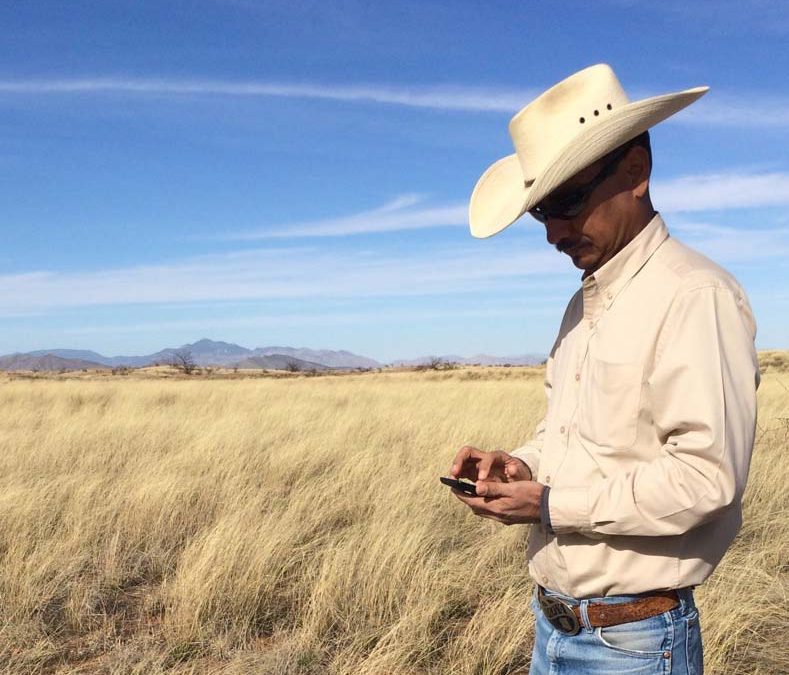
LandPKS in the Field
Mobile App
Download LandPKS today for free and discover the value and potential of your land. Use this information to plan and track management actions, and to monitor soil health and vegetation indicators over time.
LandPKS in the Field
 Mobile App
Start with the LandPKS app on your mobile device. Record field data and access soil information. Download the app for free.


LandPKS at your Desk
 Data Portal
View, edit, and download your data from your computer. Explore public soil information and data from LandPKS users worldwide.
Upcoming Events
Details on upcoming LandPKS trainings, webinars, conferences, and other events.

© Meghan Mize, courtesy of The Nature Conservancy
We have no events planned at the moment. Check back soon!
Jornada Experimental Range
Range Management Research Unit
2995 Knox St.
Las Cruces, NM 88003-0003, USA
Mobile App | Data Portal | Knowledge Hub | Habitat Hub | Learning Collections | Blog | About | Contact | Support