LandPKS News & Updates
Our Blog
LandPKS in Ethiopia
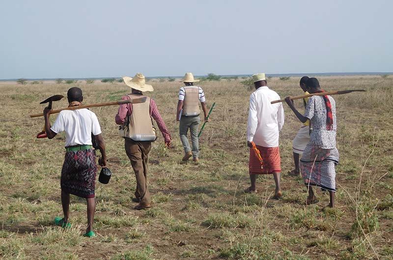
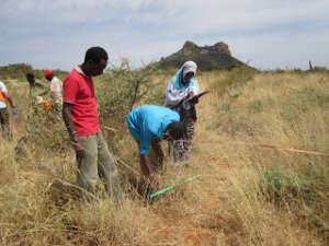
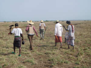
Since 2015, the US Forest Service has been using LandPKS to monitor data in Ethiopia, as part of the USAID PRIME project.
Guest post authored by Allison Holt, United States Forest Service
Since 2015, the US Forest Service has been using the Land Potential Knowledge System (LandPKS) to collect monitoring data in Ethiopia to develop a baseline for rangeland conditions and to evaluate the efficacy of rangeland management treatments in an adaptive management approach. As part of the USAID Pastoral Resilient Improved Market Expansion (PRIME) project, US Forest Service (USFS) ecologists Tom DeMeo and Sabine Mellman-Brown have been working with CARE Ethiopia Rangeland Specialists Gudina and Beressa Edessa to track local vegetation changes over time, and to record grazing effects and soil erosion trends. USFS has been conducted monitoring work primarily in the Borana, Guji, and Afar regions of Ethiopia, using both the LandPKS LandInfo and LandCover applications for electronic data collection and online cloud storage. To date, this work has resulted in 149 monitoring plots.


Jornada Experimental Range
Range Management Research Unit
2995 Knox St.
Las Cruces, NM 88003-0003, USA
Mobile App | Data Portal | Knowledge Hub | Habitat Hub | Learning Collections | Blog | About | Contact | Support