LandPKS Learning
Knowledge Hub
Measuring utilization: What, why, where, when, and how?
Step-by-step, illustrated instructions for measuring utilization with the LandPKS mobile app.
What is utilization?
Utilization is a measure of the amount of current year’s forage production that is consumed or destroyed by grazing animals, including livestock, wildlife, and insects.
Why measure utilization?
Utilization is a valuable tool for adaptive livestock management when collected and interpreted properly.
Where should I measure utilization?
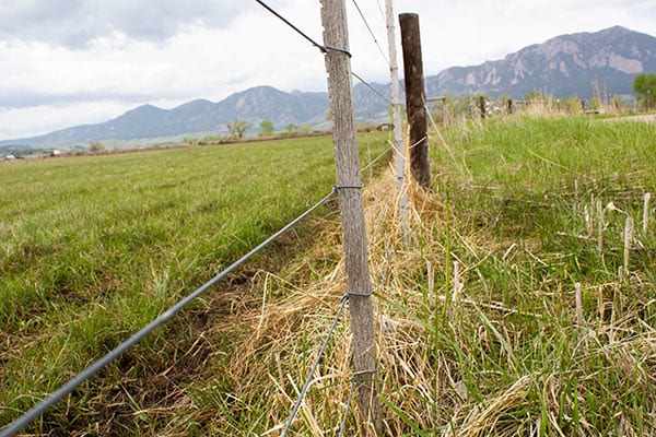
For each pasture or grazing unit, determine where to take utilization measurements by identifying key and/or critical areas. Key areas are representative of a larger management area (such as a pasture or ecological site), while critical areas are of environmental concern (such as bird nesting habitat, riparian zones, areas with high erosion risk, etc.).
When should I measure utilization?
We suggest that land managers determine their areas to measure during the growing season, and to return to collect data later in the early fall. This helps avoid bias towards selection of the most heavily or lightest-used areas.
Should I use the Landscape Appearance or the Key Species method?
The app has two ways to assess utilization. You can estimate forage vegetation as a whole, or focus on key species.
- If looking at vegetation as a whole, you would use the Landscape Appearance Method.
- If evaluating a key species, use the Key Species Method. (Key species are forage species whose use serves as an indicator of the grazing use of associated species, so you wouldn’t want to select a non-palatable species.)
Both methods provide the ability to estimate utilization for herbaceous and browse species.
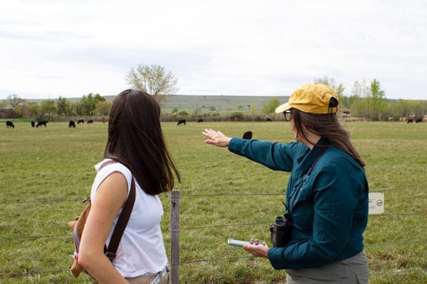
- Identify your area to measure. Try to notice the areas that livestock use regularly, which will represent the overall level of grazing in that area. It is also helpful to notice if these areas are being used by wildlife. A herd of elk, for example, can consume a great deal of forage.
- Select the beginning point for your transect by creating a LandPKS site. Navigate to the Data Input tab, then click on Vegetation and select the day from the Field Calendar.
- Select the utilization method you’d like to use: Landscape Appearance or Key Species.

- Identify the transect direction and record the bearing. Ensure that the transect remains on the same ecological site.

- Determine and record the distance between observation points. Sampling distance of 20-30 feet works well for grassland.

- Observe and record 20-25 observation points. The actual number will depend upon topography and variability of the vegetation.

- For the Landscape Appearance method:
At each observation point, observe a 5–20-foot radius (depending upon distance between observation points) in a 180-degree semicircle in front of the observation point.Based on the general appearance of the rangeland record the representative utilization class. Written descriptions provide additional guidance in selecting the utilization class.
- For the Key Species method:
At each observation point, identify the closest plant of the key species within a 5 foot radius in a 180-degree semicircle in the direction of the transect. If the key species is not present in the 5 foot semicircle, move to the nearest key plant along the transect. The next observation point will be measured from this new point.
Record the representative utilization class of the key species. Written descriptions provide additional guidance in selecting the utilization class.
- View your utilization data and download a PDF report in the Report tab under Vegetation.
- Synchronize your data to save it to the cloud.
Download
PDF of this step-by-step guide


Jornada Experimental Range
Range Management Research Unit
2995 Knox St.
Las Cruces, NM 88003-0003, USA
Mobile App | Data Portal | Knowledge Hub | Habitat Hub | Learning Collections | Blog | About | Contact | Support