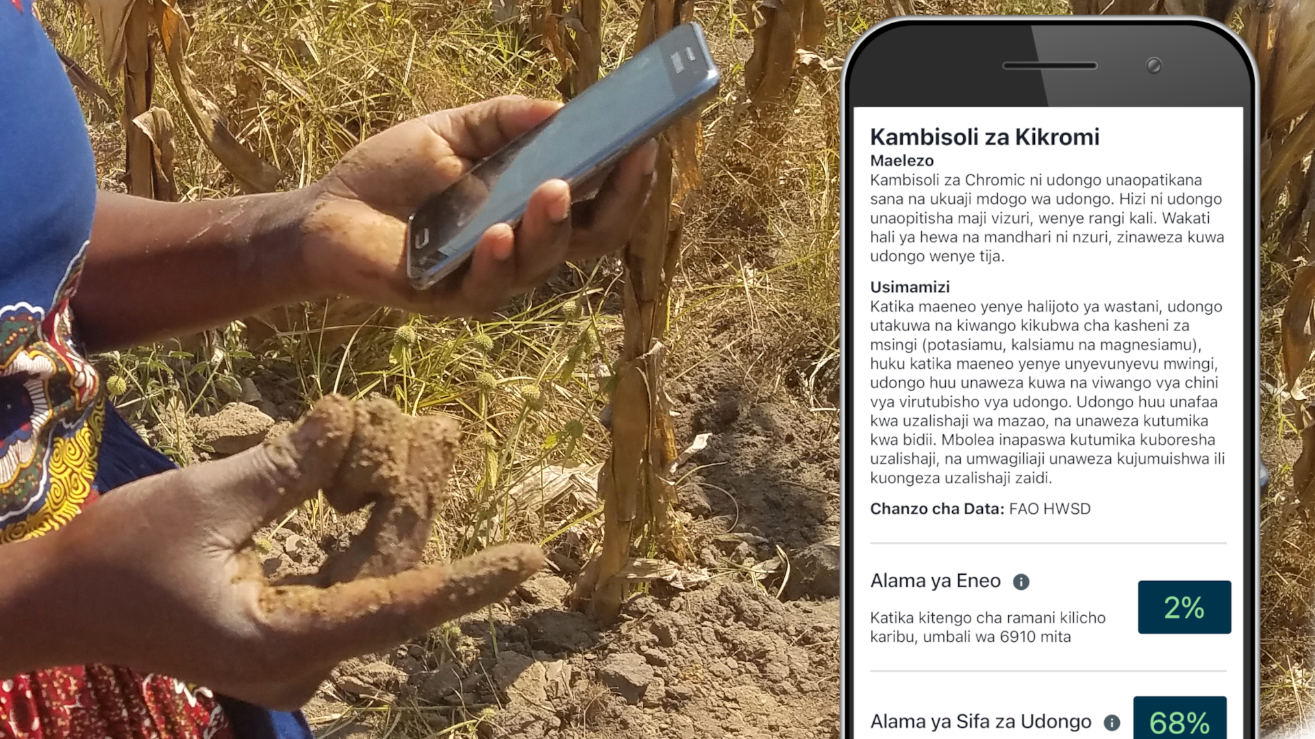
This is the user manual for LandPKS Soil ID, the free app for identifying soils in the field. Written for farmers, agency staff, scientists, students, and anyone curious about the soil beneath them, it walks through the whole workflow: choosing equipment, selecting a site, digging a soil pit, sampling by horizon, and measuring texture, color, rock fragments, and slope — then using those observations to match your site against mapped soil series. No lab equipment or soil science background needed.
Recent Posts
-
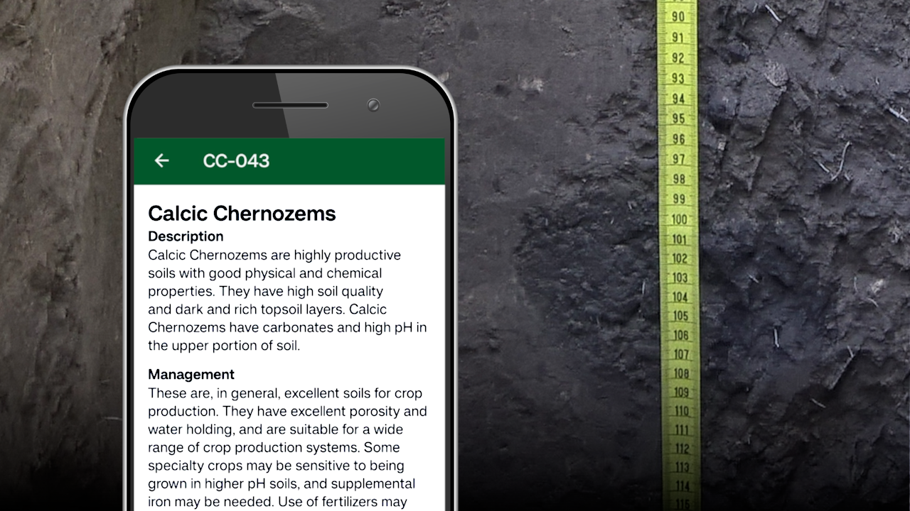
Dig deeper with LandPKS Soil ID 1.4.7
-
Terraso Joins Inquiring Systems, Inc.

-
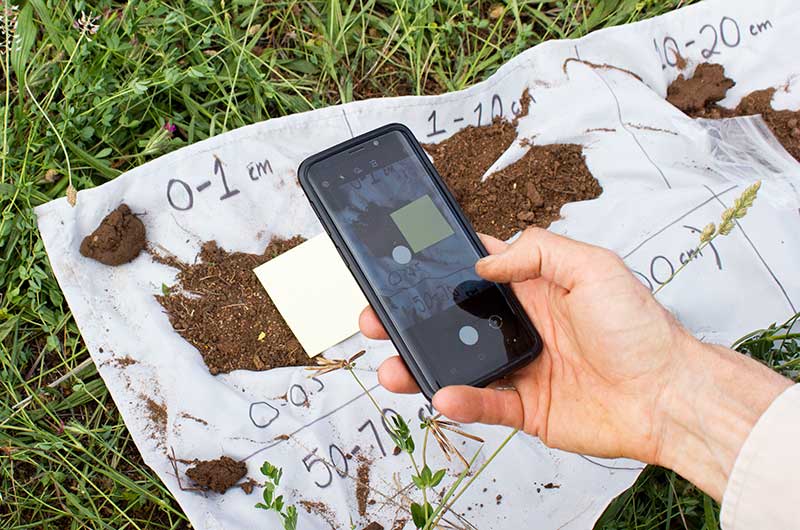
Help Us Improve Soil Color Matching in LandPKS
-
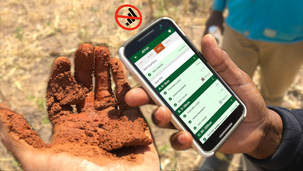
Collect soil data anywhere in the world with LandPKS Soil ID 1.4.6
-
Shape the Upcoming pH Module in LandPKS Soil ID
-
Habari! LandPKS Soil ID partners with ShambaSense to add Swahili