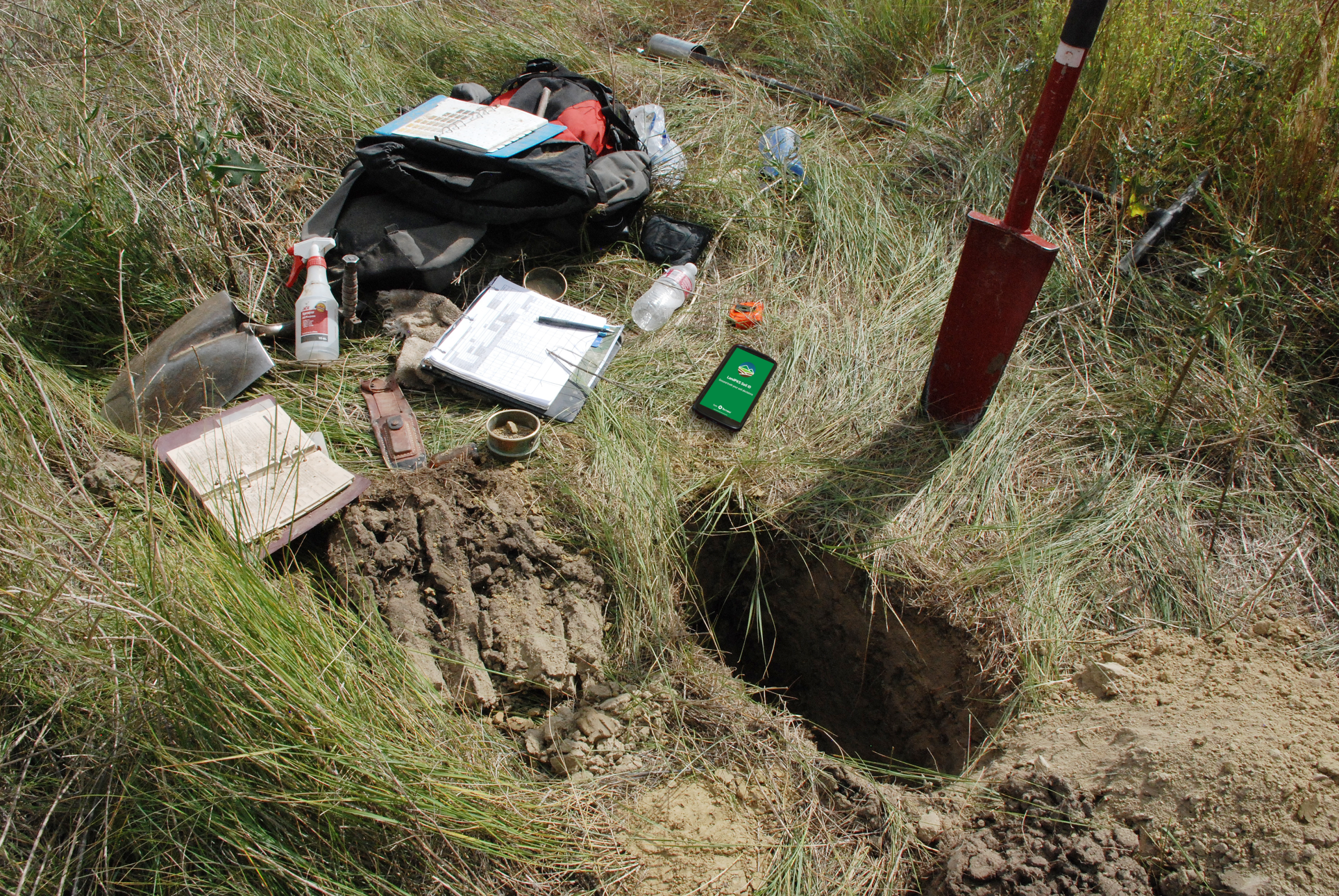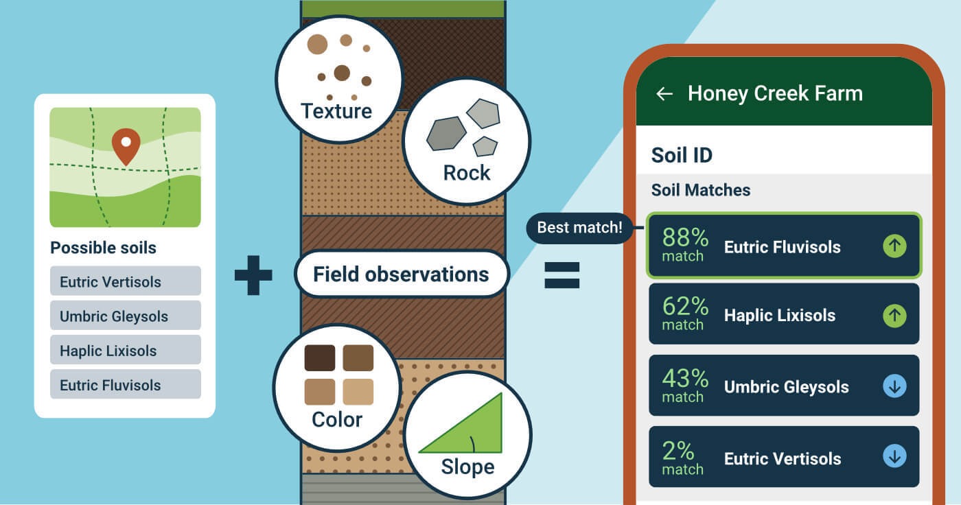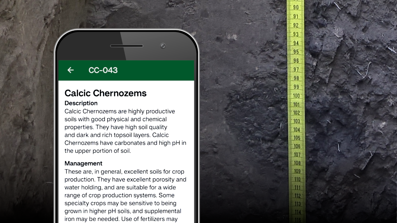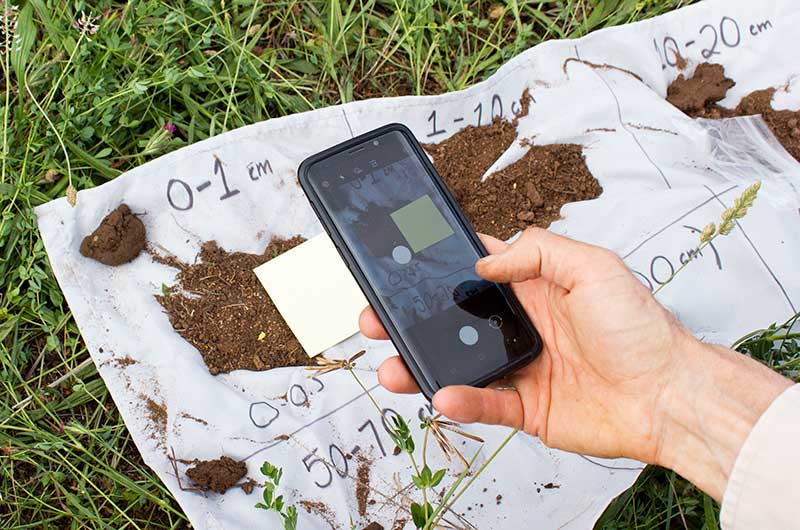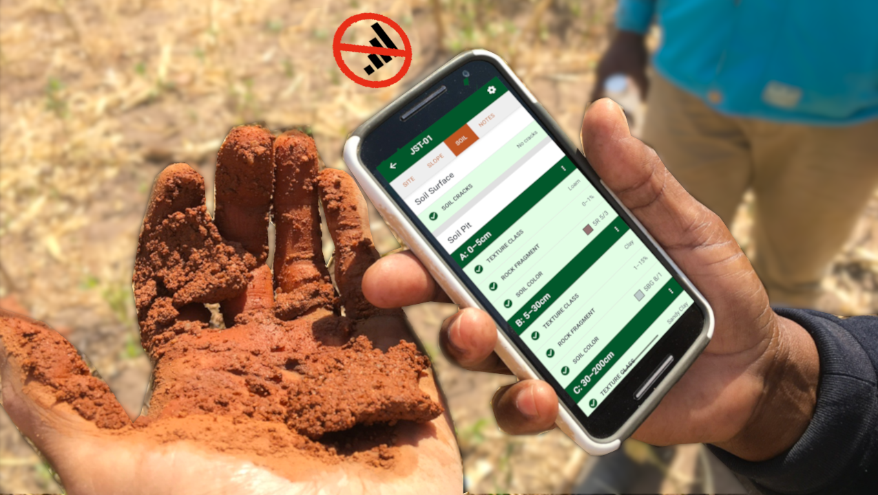

Understanding land potential is a critical part of developing mitigation strategies for wind eroision and sand and dust storms. LandPKS apps build this understanding of land potential through characterizing and identifying soils, as well as monitoring the impact of a management plan. This research outlines a framework through which the knowledge of land potential can drive sustainable land management.
Abstract
Wind erosion and sand and dust storms are a global challenge. While many management practices to mitigate sources of wind erosion and sand and dust storms have been documented, existing guidance largely emphasizes what practices are available, with limited information on where and under what ecological conditions they should be applied. As a result, mitigation efforts can be ineffective or can exacerbate erosion when implemented without regard to local ecological context. Land potential, or the inherent capacity of land to support vegetation, soil stability, and productivity, provides a basis for aligning mitigation practices with a site’s resistance and resilience to erosion. Here, we present a land potential-based framework to improve the selection, implementation, and evaluation of wind erosion and sand and dust storm source mitigation practices across diverse landscapes. The framework uses land potential assessment with agroecological state concepts to guide decision-making through the following steps: (1) characterize land potential by soils, topography, and climate to identify resistance and resilience to erosion; (2) identify agroecological states that capture vegetation–soil configurations, thresholds, and feedbacks determining erosion dynamics; (3) identify and monitor wind erosion risk and sand and dust storm source areas; (4) define mitigation targets and benchmarks that guide decision-making; (5) identify and implement practices to avoid, reduce, reverse, or accept wind erosion; and (6) evaluate mitigation outcomes and adapt management. By linking local-scale land assessments with mitigation practices, this framework increases the likelihood of successful mitigation and provides scalable decision support for advancing Land Degradation Neutrality and sustainable land management.
Citation
Young, K. E., Webb, N. P., Bestelmeyer, B. T., Bowker, M. A., Burkett, L. M., Edwards, B. L., Herrick, J. E., Houdeshell, C.-A., & McCord, S. E. (2026). A Land Potential‐Based Framework for Wind Erosion and Sand and Dust Storm Source Mitigation. Land Degradation &Amp; Development. Portico. https://doi.org/10.1002/ldr.70913